
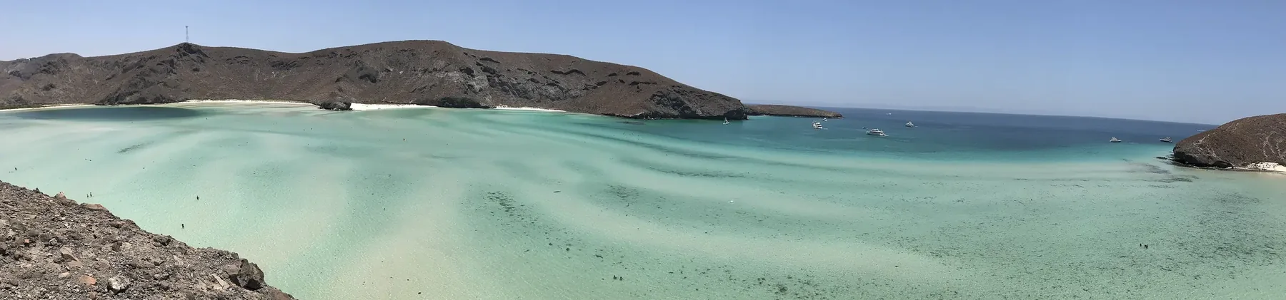
Your property is worth more when it is regularized
The twenty-meter strip adjoining the beach belongs to the nation; it is not bought or sold, it is granted in concession. If your construction occupies it without a current title, you are exposed.
Official technical data · Ley General de Bienes Nacionales (General Law of National Assets), art. 119
- Federal strip
- 20 meters adjoining the beach
- Measured from the ordinary maximum high tide line on dry land.
- Legal form
- Concession, not ownership
- An asset that cannot be sold or acquired by adverse possession, under the public domain of the Federation.
- Authorities
- SEMARNAT · municipal ZOFEMAT · CONAGUA
- Offices with concurrent powers depending on the use and the territorial location.
What you actually own
Most owners find this out after they buy. It is not a problem you created, but it is yours to sort out.
The twenty meters are not yours
The twenty-meter strip measured from the mean high tide line belongs to the nation. Mexican law calls it inalienable and imprescriptible: it cannot be sold, and no length of possession ever turns it into property. The only way to hold it is a concesión — a federal concession, granted for a term, in a named holder.
A fideicomiso does not cover it
Your trust holds the lot you bought. The federal strip in front of it is not private property at all, so it is not part of what any trust can hold — it is a separate federal matter with its own title, its own term and its own payments. Whose name that concession can be in is worth checking in your case, because practice and statute are not the same thing here.
If the seller told you the concession “transfers with the property”, check it
A concession may only be assigned with SEMARNAT's prior authorization. An assignment agreed in a purchase contract without that step is void as a matter of law — not voidable, void. Buyers pay for concessions they never receive, and usually find out years later, when they try to renew or sell.
Being in order here is a calendar, not a one-time act: a concession runs for a set term, the renewal is requested inside a narrow window before it expires, payments are due every two months, and two missed payments revoke it. Most of what goes wrong is a date that passed.
Start by checking your lot →Is your lot inside the federal zone?
Drop a pin on your land and we will tell you how many metres away the boundary of the ZOFEMAT (Mexico's federal maritime-terrestrial zone) lies, according to the survey SEMARNAT carried out.
What we learn about you when you search
If you tap the map or use your location, the calculation happens entirely on your phone and the coordinate never reaches us. The map does request its imagery from OpenStreetMap, which can therefore tell roughly which area you are looking at, to within about 300 metres.
If you search by cadastral number, that number does travel to our server: the municipal one cannot be queried straight from a browser. We do not store it or tie it to anyone, but it appears in the server access log, like any visit.
This is an orientation search against the survey SEMARNAT publishes: it has no official validity in any case and does not replace a deslinde (the official boundary survey). A delimitation exists only where SEMARNAT surveyed; where your area has none, we say so instead of guessing.
The message opens pre-written. You decide what to send; the location is not included.
This is an orientation search; the official determination is obtained from the DGZOFEMATAC through a topographic survey. Source: SEMARNAT, Dirección General de Zona Federal Marítimo Terrestre y Ambientes Costeros. Copy dated 2026-09-21. Coverage: Los Cabos, La Paz, Comondú, Loreto, Mulegé.
Three essential figures of the shoreline
Zona Federal Marítimo Terrestre (the federal maritime-terrestrial zone)
The twenty-meter-wide strip of dry land, passable and adjoining the sea beach or the banks of the rivers from their mouth.
Ley General de Bienes Nacionales (General Law of National Assets)Terrenos ganados al mar (land reclaimed from the sea)
Land surfaces that result from artificial or natural drying, subject as a matter of law to the federal public domain regime.
Public domain regimeConcesión administrativa (administrative concession)
A formal administrative act by which the federal government grants a private party the right to use, enjoy and exploit public domain assets under set conditions.
SEMARNAT resolutionThe paper you have may not be the paper you need
Official resolutions and bulletins, with the place, the year and the amount. Two of these three had documents in hand.
$102,256
Fined while holding a valid concession: the title covered 64 m² and the business occupied 109. Going beyond your own title is sanctioned like having none.
Shut down
A lot with a current municipal building permit. A municipal permit does not stand in for the federal concession; they are different authorities.
$181,176
Two operators fined for occupying 209 m² with no concession at all. Both businesses closed.
Your survey has a date on it
At playa La Posada, in La Paz, a lot recorded more than thirty years ago ended up with over 80% of it inside the federal zone after SEMARNAT re-surveyed in 2020. The owner built nothing, occupied nothing and moved nothing. The line moved.
The zone is measured from the mean high tide line, and that line shifts. Which means the plan you were shown when you bought may not be the one in force today — and that is worth knowing before you build, sell or pass the property on.
Three things almost everyone assumes
All three are wrong, and all three are worth knowing before you make a decision about the property.
“I have owned this for forty years, so by now it is mine”
No. Property in the federal public domain is inalienable, imprescriptible and not subject to adverse possession (Ley General de Bienes Nacionales, article 13). Possession never ripens into ownership here — not at forty years, not at a hundred. A concession title is the only thing that grants rights over the strip.
“It is in my estate plan, my children will inherit it”
A concession ends on the death of its holder. It does not pass like the house does. The route is to assign it during your lifetime, with SEMARNAT's prior authorization — and an assignment without that authorization is void as a matter of law. If your estate plan assumes the concession simply carries over, it is worth reviewing now rather than later.
“Can I fence off the beach in front of my house?”
No, and this one surprises people who had no bad intent. Blocking public access to the beach carries one of the highest fines in the Ley General de Bienes Nacionales, and a repeat offence can revoke the concession itself. Walls, gates and planted barriers across access routes are the usual cause. If something on your property may be doing this, it is better to find out from us than from an inspector.
How we work the procedure
Diagnosis of the property
Technical, cartographic and documentary identification of the property facing the shoreline, to delimit the affected strip.
Stage 1 · AnalysisAssembling the file
Compilation of topographic plans, descriptive reports and compliance with the official legal and tax requirements.
Stage 2 · FileFiling before the authorities
Submission and active follow-up before the relevant federal and municipal agencies, answering any official requests for correction.
Stage 3 · ProcedureDelivery and calendar
Formal receipt of the concession and setting of the schedule of annual duties and compliance, for safekeeping.
Stage 4 · ConclusionThe authorities that take part
SEMARNAT
Federal level · environment and natural resources ministry
Issuance of concessions, environmental impact authorizations (MIA), technical amendments to the title and extensions of its term.
Municipal ZOFEMAT office
Local level · La Paz / Los Cabos
Operational administration of the coastal strip, inspection of its use and direct collection of the duties set by the state revenue law.
CONAGUA
National water matters · national water commission
Delimitation of federal watercourses, river mouths, estuaries and zones adjacent to national bodies of water that touch riverfront property.
— Where it applies
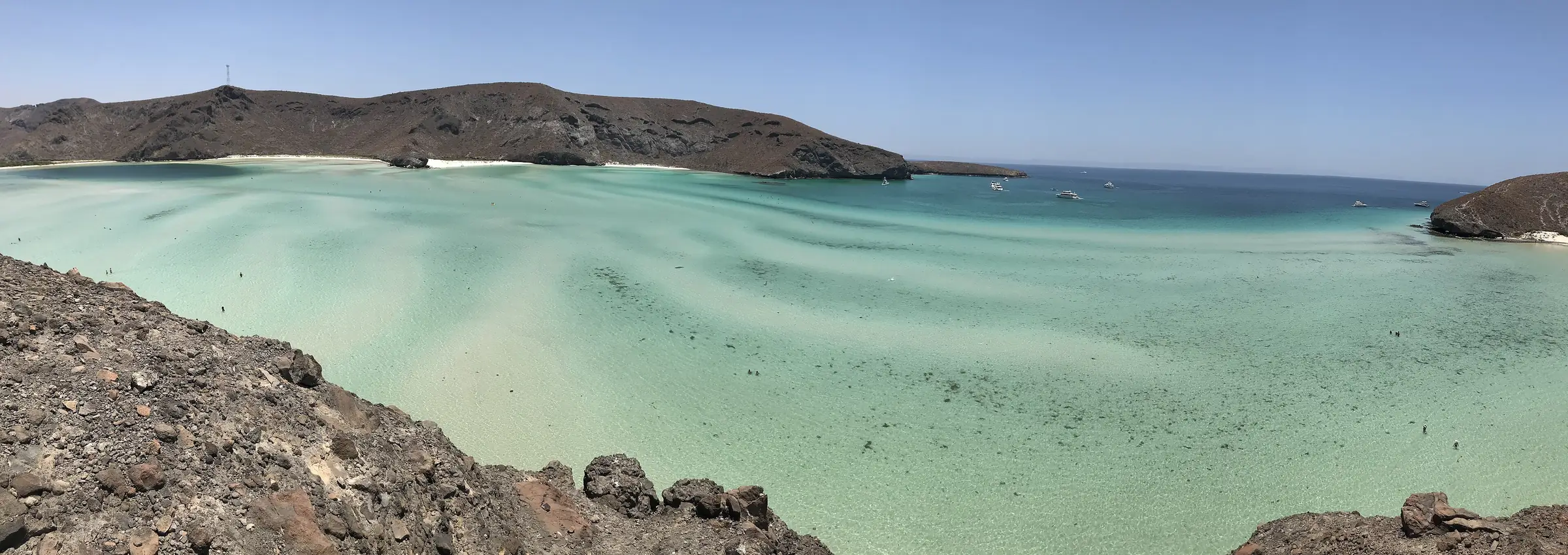
The entire coast of Baja California Sur
La Paz, Los Cabos, Loreto, Comondú and Mulegé. If your property borders the sea, an estuary or the bank of a river, part of it is likely in the federal zone. The first step is to know that for certain.
Tell us where your property is
We review the cadastral and cartographic situation of your property facing the sea, with complete technical confidentiality. We tell you its status before SEMARNAT and the specific steps to regularize it.
Prefer that we call you?
Leave us your name and your phone number and we will review where your property is and what situation it is in.
Accounting, tax and administrative services in strict compliance with the Mexican regulatory framework. No promises of a result and no informal intermediation. Photograph of Playa Balandra: Christopher Javier Cuenca García, Wikimedia Commons, CC BY-SA 4.0.